Wales is bounded by the Dee estuary and Liverpool Bay to the north, the Irish Sea to the west, the Severn estuary and the Bristol Channel to the south, and England to the east. Anglesey (Môn), the largest island in England and Wales, lies off the northwestern coast and is linked to the mainland by road and rail bridges. The varied coastline of Wales measures about 600 miles (970 km). The country stretches some 130 miles (210 km) from north to south, and its east-west width varies, reaching 90 miles (145 km) across in the north, narrowing to about 40 miles (65 km) in the centre, and widening again to more than 100 miles (160 km) across the southern portion.
Glaciers during the Pleistocene Epoch (about 2,600,000 to 11,700 years ago) carved much of the Welsh landscape into deeply dissected mountains, plateaus, and hills, including the north-south–trending Cambrian Mountains, a region of plateaus and hills that are themselves fragmented by rivers. Protruding from that backbone are two main mountain areas—the Brecon Beacons in the south, rising to 2,906 feet (886 metres) at Pen y Fan, and Snowdonia in the northwest, reaching 3,560 feet (1,085 metres) at Snowdon, the highest mountain in Wales. Snowdonia’s magnificent scenery is accentuated by stark and rugged rock formations, many of volcanic origin, whereas the Beacons generally have softer outlines. The uplands are girdled on the seaward side by a series of steep-sided coastal plateaus ranging in elevation from about 100 to 700 feet (30 to 210 metres). Many of them have been pounded by the sea into spectacular steplike cliffs. Other plateaus give way to coastal flats that are estuarine in origin.
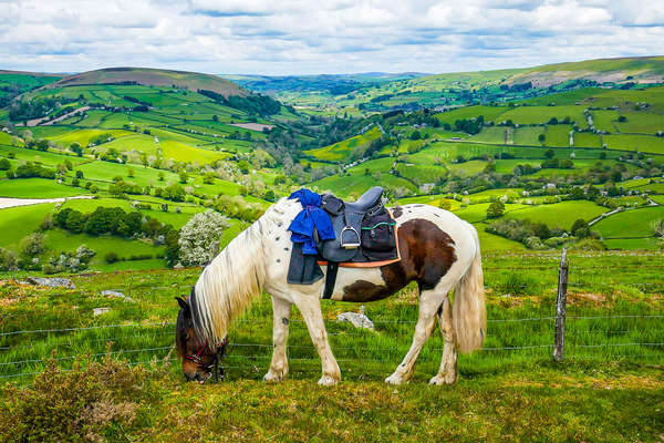
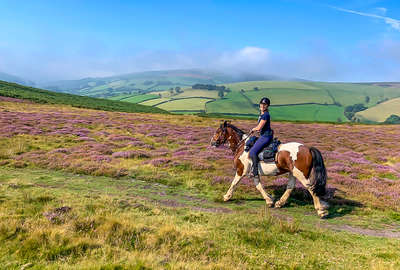
Wales consists of six traditional regions—the rugged central heartland, the North Wales lowlands and Isle of Anglesey county, the Cardigan coast (Ceredigion county), the southwestern lowlands, industrial South Wales, and the Welsh borderland. The heartland, which coincides partly with the counties Powys, Denbighshire, and Gwynedd, extends from the Brecon Beacons in the south to Snowdonia in the north and includes the two national parks based on those mountain areas. To the north and northwest lie the coastal lowlands, together with the Lleyn Peninsula (Penrhyn Llŷn) in Gwynedd and the island of Anglesey. To the west of the heartland, and coinciding with the county of Ceredigion, lies the coastline of Cardigan Bay, with numerous cliffs and coves and pebble- and sand-filled beaches. Southwest of the heartland are the counties of Pembrokeshire and Carmarthenshire. There the land rises eastward from St. David’s Head, through moorlands and uplands, to 1,760 feet (536 metres) in the Preseli Hills. South Wales stretches south of the heartland on an immense but largely exhausted coalfield. To the east of the heartland, the Welsh border region with England is largely agricultural and is characterized by rolling countryside and occasional wooded hills and mountainous moorland.

